Seismic Activity in Iceland
Over the past 30 days, there have been 1 recorded earthquakes in this region. The largest recent earthquake was a magnitude 5.4 event near 109 km S of Akureyri, Iceland.
Over the past 30 days, Iceland has recorded 1 earthquake of magnitude 2.5 or greater in our tracker. 1 reached magnitude 5.0 or higher. By depth: 1 shallow (<70 km). 1 of the epicenters were offshore. All 1 solutions have been reviewed by a USGS seismologist.
Each row in the table below includes a narrative summary of the event, ordered by time. Use the column headers to sort or filter by magnitude.
| Time ↓ | Mag ↕ | Location ↕ | Depth ↕ | Felt ↕ | MMI | Alert | Status | Details |
|---|---|---|---|---|---|---|---|---|
11 hours ago 2026-07-28 05:36:39 UTC | 5.4mww | 109 km S of Akureyri, Iceland 64.711°, -17.710° | 10.0 km | - | VII | green | ✓ Reviewed | USGS → |
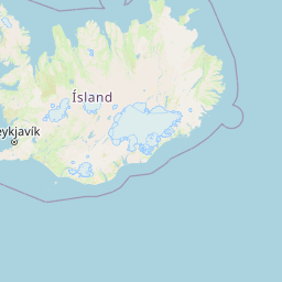
On July 28, 2026 at 05:36 UTC, a magnitude 5.4 earthquake struck 109 km S of Akureyri, Iceland. The USGS PAGER system assigned a green alert level for this event, signalling no significant casualties or damage expected. The event was offshore. See the M5.4 event page for the full report, ShakeMap, and citizen-reported intensity data. | ||||||||
109 km S of Akureyri, Iceland
11 hours ago
109 km S of Akureyri, Iceland
11 hours ago
Data from USGS Earthquake Hazards Program. Updated every 5 minutes.
Iceland sits astride the Mid-Atlantic Ridge where the North American and Eurasian plates are spreading apart, causing frequent earthquakes and volcanic activity.
In 2026, Iceland has recorded 15 earthquakes of magnitude 2.5 or greater so far. The largest earthquake in Iceland in 2026 was a magnitude 5.4 event near Akureyri, Iceland.
Over the past 30 days, there have been 1 recorded earthquakes in this region. The largest recent earthquake was a magnitude 5.4 event near 109 km S of Akureyri, Iceland.
In the past 30 days, 1 earthquakes have been recorded in the Iceland region.
The largest recent earthquake in the Iceland area was a magnitude 5.4 event that occurred 109 km S of Akureyri, Iceland.
Portugal lies near the boundary between the African and Eurasian plates. The 175...
Spain experiences moderate seismic activity, particularly in the south and south...
France experiences moderate seismic activity, particularly in the Alps, Pyrenees...
Germany experiences occasional earthquakes, particularly in the Upper Rhine Grab...