M5.1 Earthquake 88 km N of Sumenep, Indonesia — February 21, 2024
2024-02-21 22:46:57 UTC (2024-02-21) · approx. 6:46 AM UTC+8 local
Felt by 3 people across nearby locations.
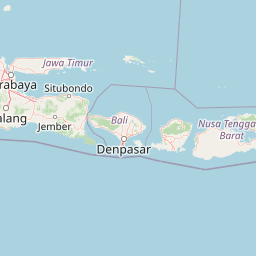
On February 21, 2024 at 22:46 UTC, a magnitude 5.1 deep-focus earthquake struck 88 km N of Sumenep, Indonesia, at a depth of 606.4 km and coordinates -6.2111°, 113.9306°. This earthquake was detected by 250 seismic stations with excellent location accuracy and was assigned a USGS significance rating of 401, placing it among routine seismic activity.
Physical scale: An earthquake of magnitude 5.1 releases seismic energy equivalent to roughly 674 metric tons of TNT. Empirical fault-scaling laws (Wells & Coppersmith, 1994) estimate the subsurface rupture length at approximately 2.0 km — a useful intuition for the size of the slip patch on the fault.
The epicenter is located in Indonesia, a region characterized by the convergence of the Indo-Australian, Eurasian, and Philippine Sea plates, forming the Sunda-Banda arc system. The nearest mapped fault system is the Sunda megathrust. View all earthquakes in Indonesia.
Learn more: Magnitude scale · Aftershock sequences
Did You Feel It? — community-reported shaking
Aggregated felt-report intensity from 3 citizen responses to the USGS Did You Feel It? system. Each colored zone represents the average MMI from reports in that area.
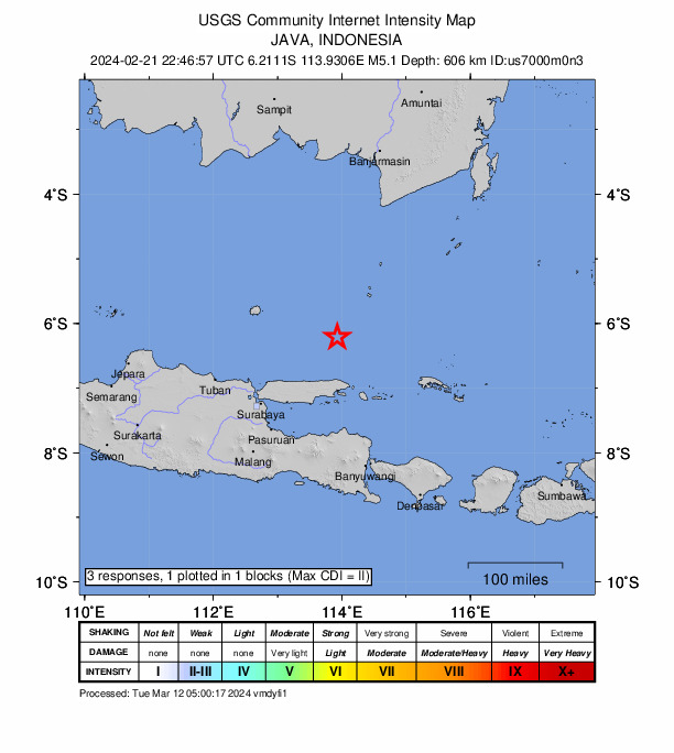
Source: U.S. Geological Survey Did You Feel It?. View on USGS · submit your own report
Earthquake Details
113.9306°E
Technical Information
Nearby Earthquakes (Last 7 Days)
Common Questions
How strong was the magnitude 5.1 earthquake near Sumenep, Indonesia?
The magnitude 5.1 earthquake that struck 88 km N of Sumenep, Indonesia on February 21, 2024 at 22:46 UTC had a depth of 606.4 km. For context, this was a moderate earthquake that could be widely felt.
Where did the earthquake occur?
The earthquake epicenter was located at -6.2111°, 113.9306°, which is 88 km N of Sumenep, Indonesia. View all earthquakes in Indonesia.
Were there aftershocks?
Aftershock activity is monitored continuously by the USGS. Aftershock sequences from magnitude 5.1 earthquakes can continue for days to weeks and gradually diminish over time.
Has Indonesia had earthquakes this big before?
The largest recorded earthquake in Indonesia was the M9.1 Indian Ocean earthquake of December 26, 2004. Today's magnitude 5.1 event is significantly smaller than that historical record.
Authoritative source: USGS event page (event ID: us7000m0n3). All scientific values on this page are sourced verbatim from the USGS feed.
Cite this page: EarthquakeTracker.org. (2024, February 21, 2024). M5.1 Earthquake 88 km N of Sumenep, Indonesia — February 21, 2024. Retrieved May 2, 2024 from https://www.earthquaketracker.org/earthquakes/event/us7000m0n3/