M4.4 Earthquake 129 km E of Yamada, Japan — April 20, 2026
2026-04-20 16:13:17 UTC (5 hours ago)
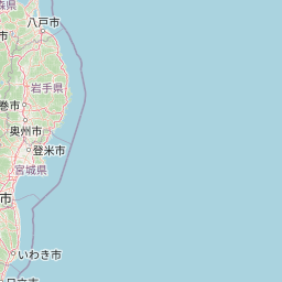
On April 20, 2026 at 16:13 UTC, a magnitude 4.4 shallow crustal earthquake struck 129 km E of Yamada, Japan, at a depth of 37.5 km and coordinates 39.4793°, 143.4588°.
Earthquake Details
143.4588°E
Technical Information
Nearby Earthquakes (Last 7 Days)
Common Questions
How strong was the magnitude 4.4 earthquake near Yamada, Japan?
The magnitude 4.4 earthquake that struck 129 km E of Yamada, Japan on April 20, 2026 at 16:13 UTC had a depth of 37.5 km. For context, this was a light earthquake commonly felt near the epicenter.
Were there aftershocks?
Aftershock activity is monitored continuously by the USGS. Aftershock sequences from magnitude 4.4 earthquakes can continue for several days and gradually diminish over time.
What should I do after an earthquake?
If you were in the affected area: check yourself and others for injuries, inspect your home for damage, and be prepared for aftershocks. For detailed guidance, see our earthquake safety guide and emergency planning resources.
Actions
Location
Understanding This Data
Magnitude 4.4 earthquakes are often felt but rarely cause damage.