2.9
M2.9 Earthquake 108 km N of Yakutat, Alaska — April 19, 2026
2026-04-19 12:50:27 UTC (1 day ago)
Earthquake Details
Magnitude
2.9 ml
Depth
5.5 km
shallow crustal
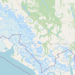
Location
60.5182°N
-139.9208°E
-139.9208°E
Technical Information
Event ID
us6000srbd
Event Type
earthquake
Status
✓ Reviewed
Significance
129
Stations Used
28
Azimuthal Gap
110.0°
Min Station Distance
0.616°
RMS Residual
1.00 sec
Last Updated
2026-04-19 14:16:58 UTC
Nearby Earthquakes (Last 7 Days)
2.53.03.03.72.82.52.6
139 km WNW of Yakutat, Alaska
1 day ago · 14.3 km deep
109 km N of Yakutat, Alaska
1 day ago · 10.1 km deep
116 km N of Yakutat, Alaska
1 day ago · 11.7 km deep
26 km WSW of Pelican, Alaska
3 days ago · 10.0 km deep
106 km N of Yakutat, Alaska
3 days ago · 5.0 km deep
221 km WSW of Yakutat, Alaska
4 days ago · 63.3 km deep
103 km N of Yakutat, Alaska
4 days ago · 5.0 km deep
Actions
Understanding This Data
Magnitude 2.9 earthquakes are typically only recorded by instruments.