2.5
M2.5 Earthquake 221 km WSW of Yakutat, Alaska — April 17, 2026
2026-04-17 06:49:01 UTC (4 days ago)
Earthquake Details
Magnitude
2.5 ml
Depth
63.3 km
shallow crustal
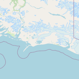
Location
58.8360°N
-143.3550°E
-143.3550°E
Technical Information
Event ID
aka2026hncnsk
Event Type
earthquake
Status
✓ Reviewed
Significance
96
Stations Used
31
Azimuthal Gap
189.0°
Min Station Distance
1.400°
RMS Residual
0.50 sec
Last Updated
2026-04-17 19:55:04 UTC
Nearby Earthquakes (Last 7 Days)
2.72.62.53.03.02.92.93.13.72.8
12 km N of Nanwalek, Alaska
16 hours ago · 54.3 km deep
18 km N of Moose Pass, Alaska
17 hours ago · 4.5 km deep
139 km WNW of Yakutat, Alaska
1 day ago · 14.3 km deep
109 km N of Yakutat, Alaska
1 day ago · 10.1 km deep
116 km N of Yakutat, Alaska
1 day ago · 11.7 km deep
228 km SE of Chiniak, Alaska
1 day ago · 10.0 km deep
108 km N of Yakutat, Alaska
1 day ago · 5.5 km deep
244 km ESE of Chiniak, Alaska
3 days ago · 20.9 km deep
26 km WSW of Pelican, Alaska
3 days ago · 10.0 km deep
31 km ENE of Beluga, Alaska
3 days ago · 50.2 km deep
Actions
Understanding This Data
Magnitude 2.5 earthquakes are typically only recorded by instruments.