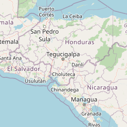
M4.8 Earthquake 59 km S of Intipucá, El Salvador — October 26, 2024
2024-10-26 01:21:57 UTC (2024-10-26) · approx. 7:21 PM UTC-6 local
Felt by 1 person across nearby locations.
On October 26, 2024 at 01:21 UTC, a magnitude 4.8 shallow crustal earthquake struck 59 km S of Intipucá, El Salvador, at a depth of 60.4 km and coordinates 12.6601°, -88.1140°. This earthquake was detected by 53 seismic stations with good location accuracy and was assigned a USGS significance rating of 355, placing it among routine seismic activity.
Physical scale: An earthquake of magnitude 4.8 releases seismic energy equivalent to roughly 239 metric tons of TNT. Empirical fault-scaling laws (Wells & Coppersmith, 1994) estimate the subsurface rupture length at approximately 1.2 km — a useful intuition for the size of the slip patch on the fault.
Did You Feel It? — community-reported shaking
Aggregated felt-report intensity from 1 citizen response to the USGS Did You Feel It? system. Each colored zone represents the average MMI from reports in that area.
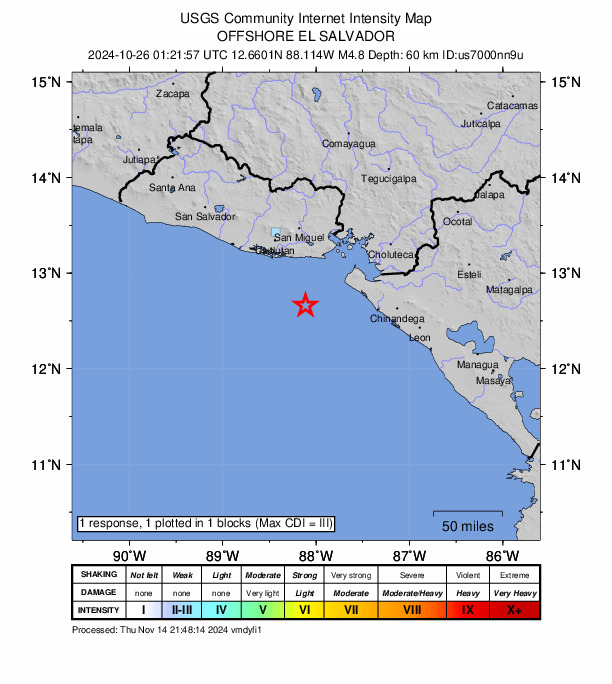
Source: U.S. Geological Survey Did You Feel It?. View on USGS · submit your own report
Earthquake Details
-88.1140°E
Technical Information
Nearby Earthquakes (Last 7 Days)
Common Questions
How strong was the magnitude 4.8 earthquake near Intipucá, El Salvador?
The magnitude 4.8 earthquake that struck 59 km S of Intipucá, El Salvador on October 26, 2024 at 01:21 UTC had a depth of 60.4 km. For context, this was a light earthquake commonly felt near the epicenter.
Where did the earthquake occur?
The earthquake epicenter was located at 12.6601°, -88.1140°, which is 59 km S of Intipucá, El Salvador.
Were there aftershocks?
Aftershock activity is monitored continuously by the USGS. Aftershock sequences from magnitude 4.8 earthquakes can continue for several days and gradually diminish over time.
Authoritative source: USGS event page (event ID: us7000nn9u). All scientific values on this page are sourced verbatim from the USGS feed.
Cite this page: EarthquakeTracker.org. (2024, October 26, 2024). M4.8 Earthquake 59 km S of Intipucá, El Salvador — October 26, 2024. Retrieved January 4, 2025 from https://www.earthquaketracker.org/earthquakes/event/us7000nn9u/