M4.5 Earthquake 84 km NNW of Isangel, Vanuatu — April 24, 2026
2026-04-24 00:21:22 UTC (3 hours ago)
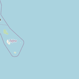
On April 24, 2026 at 00:21 UTC, a magnitude 4.5 intermediate depth earthquake struck 84 km NNW of Isangel, Vanuatu, at a depth of 171.7 km and coordinates -18.8416°, 168.9718°. This earthquake was detected by 25 seismic stations with excellent location accuracy and was assigned a USGS significance rating of 312, placing it among routine seismic activity.
The epicenter is located in Vanuatu, a region characterized by the New Hebrides subduction zone, where the Australian Plate subducts eastward at approximately 90 mm per year. View all earthquakes in Vanuatu.
Learn more: Magnitude scale · Aftershock sequences
Earthquake Details
168.9718°E
Technical Information
Nearby Earthquakes (Last 7 Days)
Common Questions
How strong was the magnitude 4.5 earthquake near Isangel, Vanuatu?
The magnitude 4.5 earthquake that struck 84 km NNW of Isangel, Vanuatu on April 24, 2026 at 00:21 UTC had a depth of 171.7 km. For context, this was a light earthquake commonly felt near the epicenter.
Where did the earthquake occur?
The earthquake epicenter was located at -18.8416°, 168.9718°, which is 84 km NNW of Isangel, Vanuatu. View all earthquakes in Vanuatu.
Were there aftershocks?
Aftershock activity is monitored continuously by the USGS. Aftershock sequences from magnitude 4.5 earthquakes can continue for several days and gradually diminish over time.
Has Vanuatu had earthquakes this big before?
The largest recorded earthquake in Vanuatu was the M7.9 Vanuatu earthquake of October 7, 2009. Today's magnitude 4.5 event is significantly smaller than that historical record.
What should I do after an earthquake?
If you were in the affected area: check yourself and others for injuries, inspect your home for damage, and be prepared for aftershocks. For detailed guidance, see our earthquake safety guide and emergency planning resources.