M5.5 Earthquake near Greenland Sea — July 23, 2021
2021-07-23 04:05:39 UTC (2021-07-23) · approx. 4:05 AM UTC+0 local
Felt by 1 person across nearby locations.
On July 23, 2021 at 04:05 UTC, a magnitude 5.5 shallow crustal earthquake struck near Greenland Sea, at a depth of 10.0 km and coordinates 79.6804°, 3.3718°. The earthquake was reported felt by 1 personacross nearby locations, with a maximum shaking intensity of Modified Mercalli Intensity (MMI) 3.1 (light). The USGS PAGER system issued a green alert level for this event, indicating no significant casualties or damage expected.
Physical scale: An earthquake of magnitude 5.5 releases seismic energy equivalent to roughly 3 kilotons of TNT. Empirical fault-scaling laws (Wells & Coppersmith, 1994) estimate the subsurface rupture length at approximately 3.8 km — a useful intuition for the size of the slip patch on the fault.

ShakeMap — predicted shaking intensity
Modeled ground-motion intensity contoured on the Modified Mercalli scale (MMI). Computed by the USGS from the moment-tensor solution and regional ground-motion prediction equations.
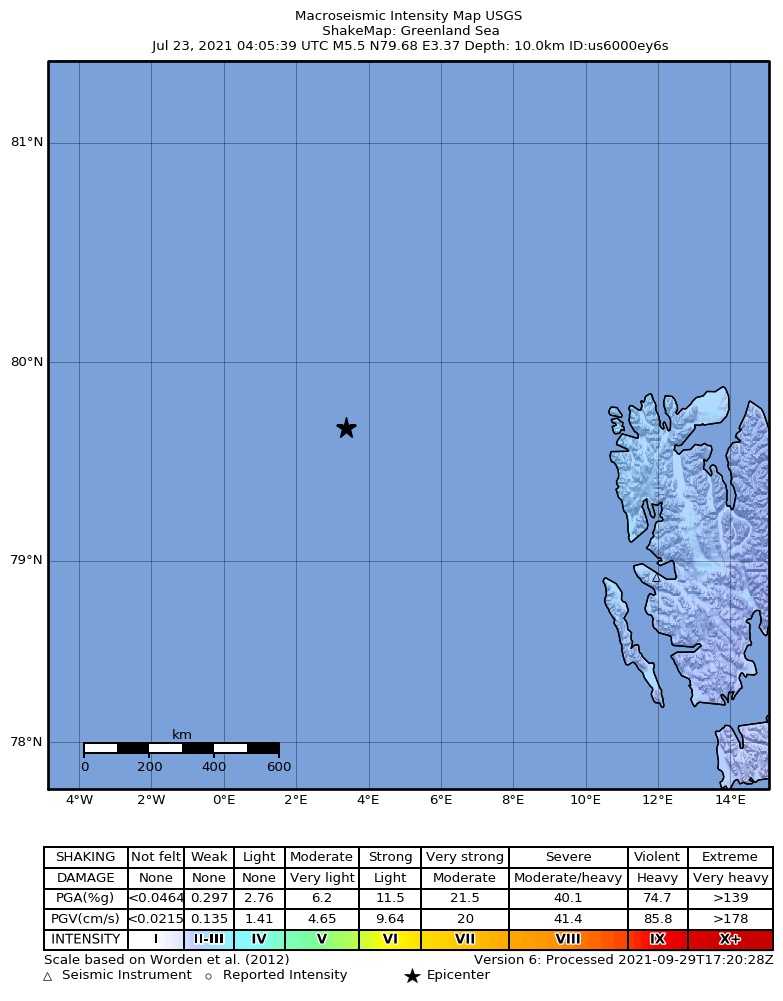
Source: U.S. Geological Survey ShakeMap. View interactive ShakeMap on USGS
Did You Feel It? — community-reported shaking
Aggregated felt-report intensity from 1 citizen response to the USGS Did You Feel It? system. Each colored zone represents the average MMI from reports in that area.
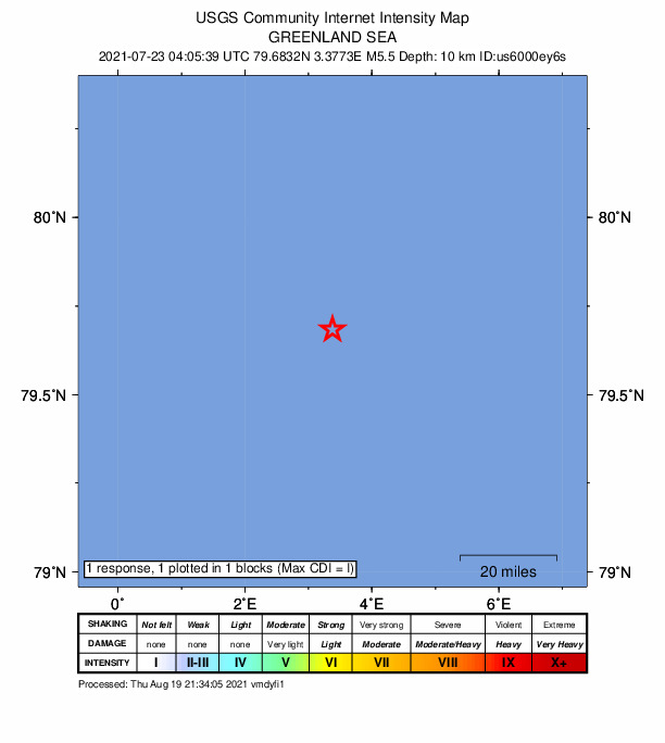
Source: U.S. Geological Survey Did You Feel It?. View on USGS · submit your own report
Population exposure (USGS PAGER)
Estimated population that experienced each level of shaking. Based on the USGS PAGER rapid impact assessment, which combines ShakeMap output with global population grids.
| Shaking intensity (MMI) | Description | Population exposed |
|---|---|---|
| MMI 3 | weak | 57 |
Earthquake Details
3.3718°E
Technical Information
Common Questions
How strong was the magnitude 5.5 earthquake near Greenland Sea?
The magnitude 5.5 earthquake that struck near Greenland Sea on July 23, 2021 at 04:05 UTC had a depth of 10.0 km. It was felt by 1 person with maximum shaking intensity of MMI 3.1 (light). For context, this was a moderate earthquake that could be widely felt.
Where did the earthquake occur?
The earthquake epicenter was located at 79.6804°, 3.3718°, which is near Greenland Sea.
Were there aftershocks?
Aftershock activity is monitored continuously by the USGS. Aftershock sequences from magnitude 5.5 earthquakes can continue for days to weeks and gradually diminish over time.
Actions
Authoritative source: USGS event page (event ID: us6000ey6s). All scientific values on this page are sourced verbatim from the USGS feed.
Cite this page: EarthquakeTracker.org. (2021, July 23, 2021). M5.5 Earthquake near Greenland Sea — July 23, 2021. Retrieved December 22, 2025 from https://www.earthquaketracker.org/earthquakes/event/us6000ey6s/