2.6
M2.6 Earthquake 9 km ENE of Kaltag, Alaska — June 24, 2026
2026-06-24 13:47:20 UTC (6 hours ago) · approx. 2:47 AM UTC-11 local
MagnitudeM2.6(ml)
Time13:47 UTC≈ 2:47 AM UTC-11
Depth1.1 kmshallow crustal
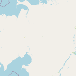
Coordinates64.360°, -158.536°
Felt byNo felt reports
StatusAutomatic (preliminary)
Earthquake Details
Magnitude
2.6 ml
Depth
1.1 km
shallow crustal
Location
64.3600°N
-158.5360°E
-158.5360°E
Technical Information
Event ID
aka2026mklkhs
Event Type
earthquake
Status
Automatic
Significance
104
Stations Used
23
Azimuthal Gap
69.0°
Min Station Distance
0.800°
RMS Residual
1.40 sec
Last Updated
2026-06-24 13:50:03 UTC
Nearby Earthquakes (Last 7 Days)
3.22.93.42.62.53.12.7
34 km W of Kotzebue, Alaska
4 hours ago · 5.0 km deep
24 km SW of Petersville, Alaska
22 hours ago · 92.9 km deep
57 km NNE of White Mountain, Alaska
1 day ago · 5.0 km deep
27 km ESE of Denali National Park, Alaska
2 days ago · 5.0 km deep
17 km N of Cantwell, Alaska
3 days ago · 1.4 km deep
1 km NE of Trapper Creek, Alaska
5 days ago · 15.9 km deep
49 km NNE of White Mountain, Alaska
6 days ago · 1.3 km deep
Actions
Understanding This Data
Magnitude 2.6 earthquakes are typically only recorded by instruments.
Authoritative source: USGS event page (event ID: aka2026mklkhs). All scientific values on this page are sourced verbatim from the USGS feed.
Cite this page: EarthquakeTracker.org. (2026, June 24, 2026). M2.6 Earthquake 9 km ENE of Kaltag, Alaska — June 24, 2026. Retrieved June 24, 2026 from https://www.earthquaketracker.org/earthquakes/event/aka2026mklkhs/