2.5
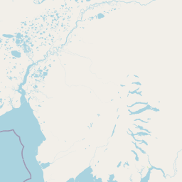
M2.5 Earthquake 106 km NNW of Aleknagik, Alaska — April 18, 2026
2026-04-18 12:29:21 UTC (1 day ago)
Earthquake Details
Magnitude
2.5 ml
Depth
6.0 km
shallow crustal
Location
60.1970°N
-159.1140°E
-159.1140°E
Technical Information
Event ID
aka2026hpjoks
Event Type
earthquake
Status
✓ Reviewed
Significance
96
Stations Used
19
Azimuthal Gap
82.0°
Min Station Distance
0.500°
RMS Residual
0.60 sec
Last Updated
2026-04-19 03:59:57 UTC
Nearby Earthquakes (Last 7 Days)
2.93.93.52.92.83.22.83.82.73.3
35 km SSW of Karluk, Alaska
13 hours ago · 54.6 km deep
71 km SE of Ugashik, Alaska
18 hours ago · 80.4 km deep
45 km NW of Ninilchik, Alaska
1 day ago · 97.6 km deep
70 km WSW of Akhiok, Alaska
1 day ago · 28.4 km deep
31 km ENE of Beluga, Alaska
2 days ago · 50.2 km deep
11 km WSW of Point Possession, Alaska
4 days ago · 8.4 km deep
48 km SW of Karluk, Alaska
4 days ago · 59.1 km deep
72 km SE of Kokhanok, Alaska
4 days ago · 121.7 km deep
32 km SW of Cooper Landing, Alaska
4 days ago · 28.4 km deep
48 km ENE of Port Alsworth, Alaska
5 days ago · 176.2 km deep
Actions
Understanding This Data
Magnitude 2.5 earthquakes are typically only recorded by instruments.