2.9
M2.9 Earthquake 22 km E of Koyukuk, Alaska — February 18, 2026
2026-02-18 18:34:46 UTC (2026-02-18) · approx. 8:34 AM UTC-10 local
MagnitudeM2.9(ml)
Time18:34 UTC≈ 8:34 AM UTC-10
Depth4.9 kmshallow crustal
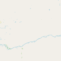
Coordinates64.916°, -157.238°
Felt byNo felt reports
Status✓ Reviewed by USGS
Earthquake Details
Magnitude
2.9 ml
Depth
4.9 km
shallow crustal
Location
64.9160°N
-157.2380°E
-157.2380°E
Technical Information
Event ID
aka2026dlnuwk
Event Type
earthquake
Status
✓ Reviewed
Significance
129
Stations Used
37
Azimuthal Gap
43.0°
Min Station Distance
0.200°
RMS Residual
0.70 sec
Last Updated
2026-05-06 17:54:02 UTC
Nearby Earthquakes (Last 7 Days)
Actions
Understanding This Data
Magnitude 2.9 earthquakes are typically only recorded by instruments.
Authoritative source: USGS event page (event ID: aka2026dlnuwk). All scientific values on this page are sourced verbatim from the USGS feed.
Cite this page: EarthquakeTracker.org. (2026, February 18, 2026). M2.9 Earthquake 22 km E of Koyukuk, Alaska — February 18, 2026. Retrieved May 6, 2026 from https://www.earthquaketracker.org/earthquakes/event/aka2026dlnuwk/